A 60-page walking map traces the Camino Francés section of the Camino de Santiago in northwestern Spain. Beginning in St-Jean-Pied-de-Port, France, and ending at the Cathedral of Santiago de Compostela, this is one of the oldest and most popular sections of the 1,200-year-old pilgrimage track.
The 5"x9¾" map, printed on waterproof plastic paper with UV-resistant ink, includes a 3-D aerial map of the terrain (scale: 1cm = 1km) along the 800-kilometer trek. Information on recommended refuges, hostels and eateries along the route is included.
Available online ($39.90) from Camino Downunder (North Bondi, NSW, Australia; phone +61 2 9365 7525, ).
Similar articles
-
 November 2026
 Editors' Note
-
 November 2026
Touching Caravaggio: A Blind Man’s Tour of the Vatican Museums
-
 November 2026
A Silk Road Adventure
-
 November 2026
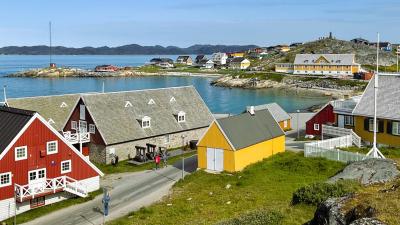
Impressions of Greenland
-
 November 2026
Sailing the West African Coast
-
 November 2026
An Insider’s Guide to Better Travel Planning with AI